Saturday, December 31, 2011

Leg 7: HECA - Cairo Intl (Egypt) -> HESN - Aswan Intl (Egypt)

Cairo Intl -> Aswan Intl
Distance: 414.2 nm
Estimated fuel burn: 48.2 gal / 289.3 lb
Estimated time en route: 2:45

I have left Cairo at noon preparing for a long, but interesting flight along the Nile river, flying over some of the Egyptian monuments and historic cities. Probably this was the leg with the most sights along the way. After three hours of flight I landed at Aswan on the shore of Lake Nasser. On the way I overflwe Luxor and the Valley of the kings.


Departing Cairo Intl

Pyramids south of Cairo


A  lot of cities along the Nile


Desert landscapes


Valley of the Kings, and temple of Luxor

Karnak Temple


Sandstorm in the distance

Lake Nasser and the dam at Aswan

Philae

Final at Aswan airport, Lake Nasser on the right

Nice wall of Aswan airport
Addon scenery: Egypt for FSX

Friday, December 30, 2011

Leg 6: LCPH - Paphos Intl (Cyprus) -> HECA - Cairo Intl (Egypt)

Paphos Intl -> Cairo Intl
Distance: 319 nm
Estimated fuel burn: 46.1 gal
Estimated time en route: 2:40


Very beautiful afternoon as we are heading towards Egypt. Quite boring start of the trip, with an hour and a half over water, but soon after that I had the first glimps of the African continent. Port Said was the first city we overflew. It is the starting point of the Suez Chanel, a waterway linking Mediterrana with the Red Sea. I folllowed the channel towards Ishmaila where I turned west towards Cairo. Quite a few ships in the Suez Channel this day.
Before landing in Cairo, I took a small detour to admire the pyramids, Sphinx and Cairo city. I didn't expected the city to be that big.
In the next flight I will follow the Nile to the south and hope to spot more of the Egyptian monuments and landscapes.

Flight Map
Long leg over the sea

Coast of Africa with Port Said in the distance

Over Port Said


Ships on Suez Chanel

Folowing the Chanel to the south

Ishmail city, time to leave Suez Chanel and turn towards Cairo

Circular cropfields in the desert

Nice  detail city


Old setlement markins in the desert


Cairo city center


The Pyramids


And from the other side while preparing to  land

Cairo tower

Thursday, December 29, 2011

Leg 5: LTAG - Incirlik AB (Turkey) -> LCPH - Pafos Intl (Cyprus)

Incirlik AB -> Pafos Intl
Distance: 219.7 nm
Estimated fuel burn: 25.1 gal / 150.4 lb
Estimated time en route: 1:25

 The fifth leg of my journey takes me from Southern Turkey to the Island of Cyprrus, a famous holiday destination in Mediterrana. 

This leg also brought a change, I traded the Duke for a A36 Bonanza. One of the main reasons was the fact that, due to the two big engines mounted on the Dukes wings, I could not see much of the scenery, and the other reason was the better avionics in the A36.

The flight begun early  in the morning and went smoothly, even though I still have to get used with some of the features in the new aircraft.

After departing from Adana, I flew to the south over Mediterrana for almost 30 minutes then past the northen Kyrenia mountains of Cyprus, over Larnaca and then finally to Paphos, in the western part of the island. Before Paphos we had a nice approach over the Troodos mountains.


Flight map
Departing Adana at dawn

Southern Turkey coast

Northern Cyprus coast with the Kyrenia mountain range


Kyrenia mountains and the coast in good resolution

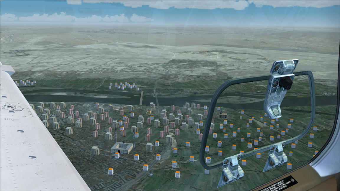
Planes middle region of the island

Larnaca

Copper mine, copper is one of the main resources of the island

Nice detail on approach at Paphos. Straw ballots.

Resting next to the big guys

Wednesday, December 28, 2011

Leg 4: LTAC - Esenboga Ankara (Turkey) -> LTAG Incirlik AB - Adana (Turkey)

Esenboga -> Incirlik AB
Distance: 297.9 nm
Estimated fuel burn: 75.8 gal / 454.9 lb
Estimated time en route: 1:42
After spending some time in Ankara, it's time to continue towards southern Turkey, but not before I visit one of the most spectacular regions in Turkey, Cappadocia, with it's wonderful scenery. I took a short detour to also fly over the second largest lake in Turkey (Tuz Golu) before making a pass over Cappadocia.

Thursday, December 22, 2011

Leg 3: LTBA - Istanbul (Turkey) -> LTAC - Ankara Esenboga (Turkey)

Ataturk -> Esenboga
Distance: 223.1 nm
Estimated fuel burn: 53.0 gal / 318.1 lb
Estimated time en route: 1:11
After fixing the broken fuel line and the damages it caused in the last flight, I started the third leg of this flight around noon, heading out to the capital city of Turkey - the city of Ankara.
I took a small detour to admire the scenery along the route. After takeoff I took another look at the wonderful city of Istanbul, as much as I could considering all the frequency changes, busy airspace and ATC communications. Next waypoint around the way was the city of Izmir, located in a bay on the Marmaris sea coast.