Leg 1: LRBS - Baneasa (Romania) -> LB25 - Balchik (Bulgaria)
Distance: 126.5 nm
Estimated fuel burn: 32.7 gal / 196.4 lb
Estimated time en route: 0:44
After a long time of setting things up for our trip, it's finally time to go. I arrived at the starting airport around noon and boarded the aircraft expecting to leave quite soon. Weather was quite bad (cold and rainy) but this didn't put out any problem. What did was the simulator, there were still a few things that needed adjusted before I could take off. After around 45 minutes things looked in order so it's time to go.
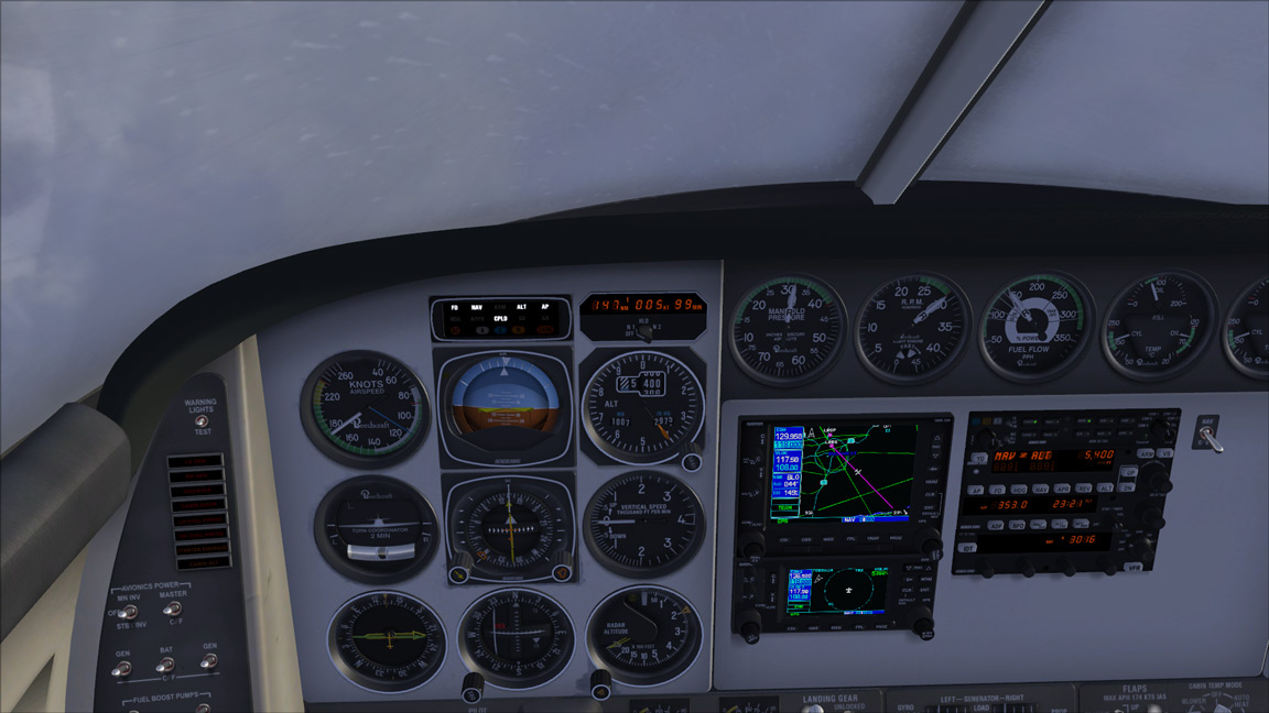
Today's leg was flown IFR due to the bad wether around the route so we did not get to see much. The ride was smooth and soon we were overflying Varna VOR from where we needed to turn North and find the destination airport, city of Balcic.
Finding the airport was easyer than expected even cosnidering it was not in my Garmin GNS 530 database so had to locate the airport visually. Fortunatly the cloud layer was ending at 3000 ft so I spoted the airport pretty fast. Also being familiar with this area from real life might have helped.
ATC cleared us for visual approach to runway 33 and after a short left hand base we have landed the aircraft at the first destination.
Scenery used:
LRBS 2007 Professional Edition


No comments:
Post a Comment